
~Wetherlam and The Old Man~
14th November 2011
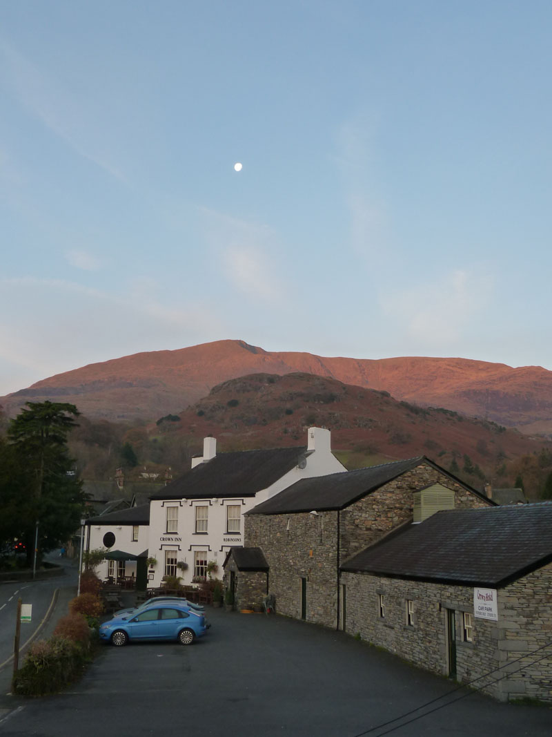
The morning after the Remembrance Walk and I was not going to decide where I was walking at least until I'd opened the curtains at the B&B. I was encouraged to stay in the area by the first view of the day and another walk in the Coniston Fells was on the cards.
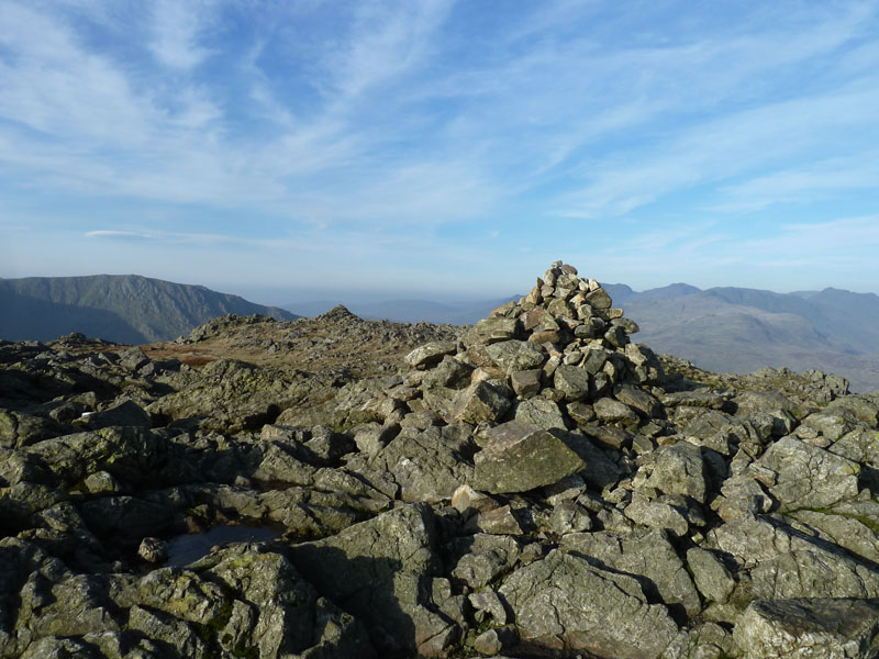
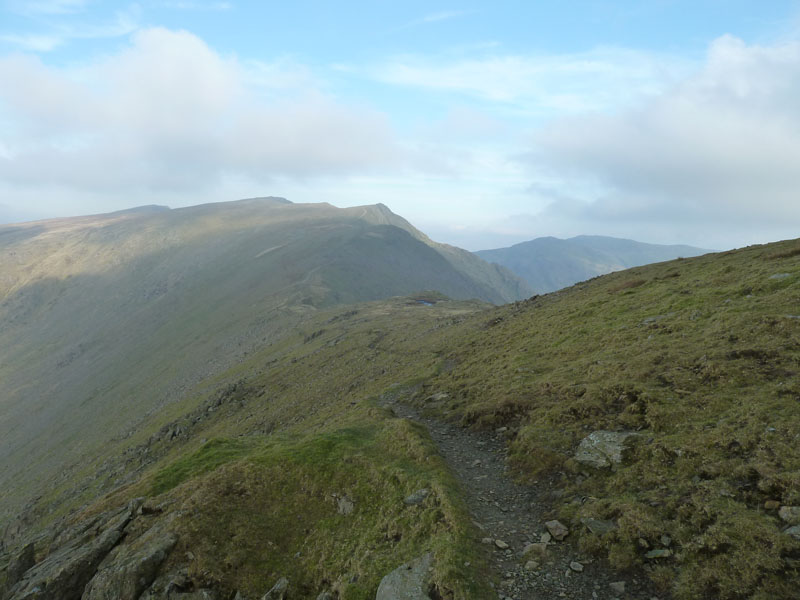
Wetherlam Summit
Scroll down for photos and a description of the walk....
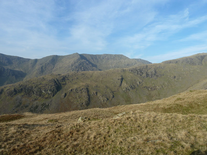
Coniston Old Man
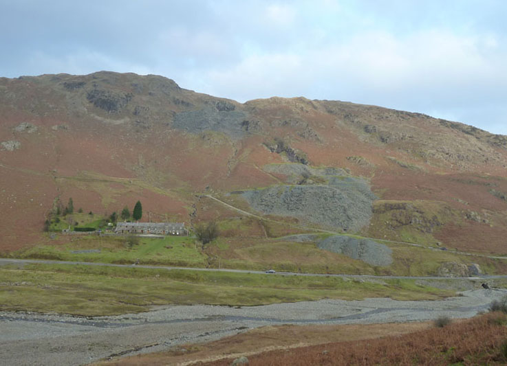
This is the view from Room 3 of Lakeland House on Tilberthwaite Road, Coniston. The hill in the middle ground is Foul Scrow.
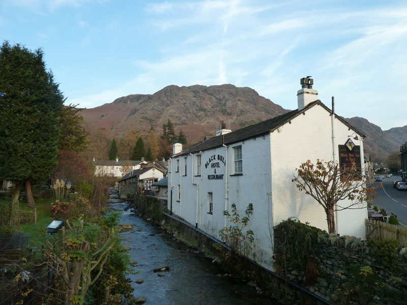
The Black Bull
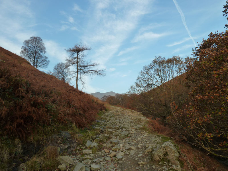
As yesterday's walk also started in Coniston and headed the same way, I tried, where possible to vary the route and not retrace my steps. So, it's up past The Sun Hotel on the way to Miners Bridge.
Miner's Route
There are routes on either side of the beck; that's Swirl How in the distance.
Mouldry Bank
I crossed Miners Bridge and then started the ascent of Wetherlam by climbing up the side of the beck, seen here on Mouldry Bank.
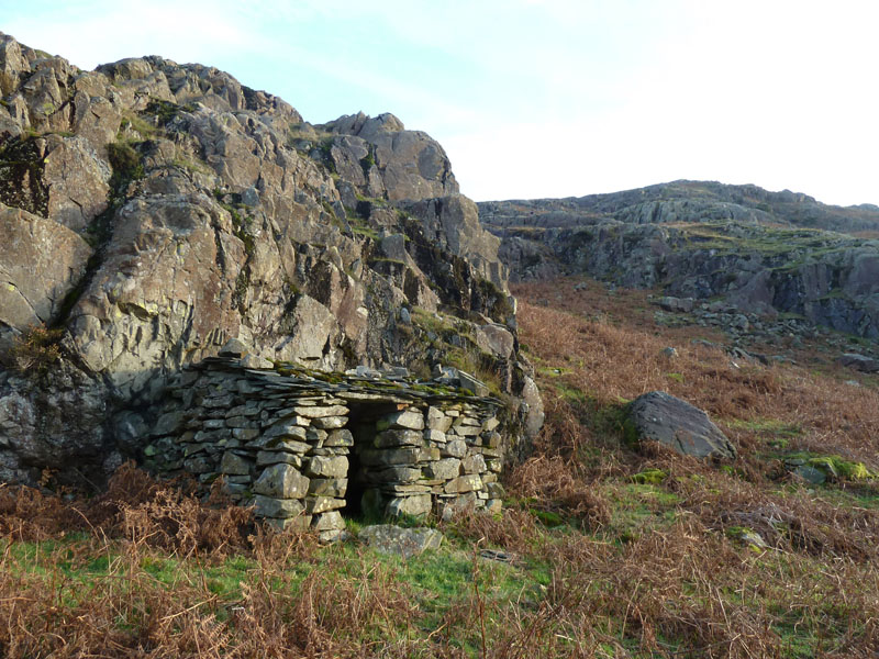
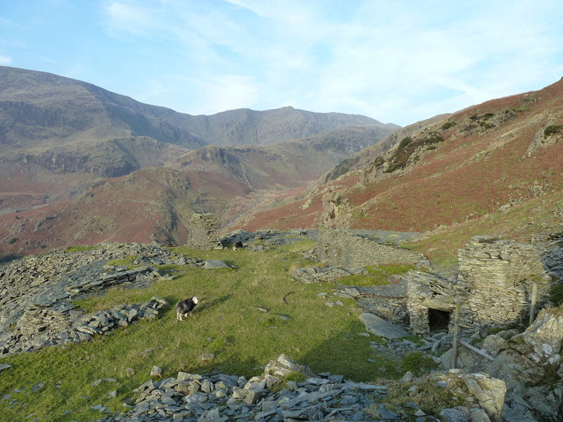
Miners Shelter?
A curious little building before I reached the slate quarrying area.
Miners Path
Grassy zig-zags allow for an easy ascent to the quarries. All activity in this area was slate quarrying, the copper mines are further up the valley. I started this walk at 08:40, about 90 minutes too late to get the best of the early morning views. Nevermind.
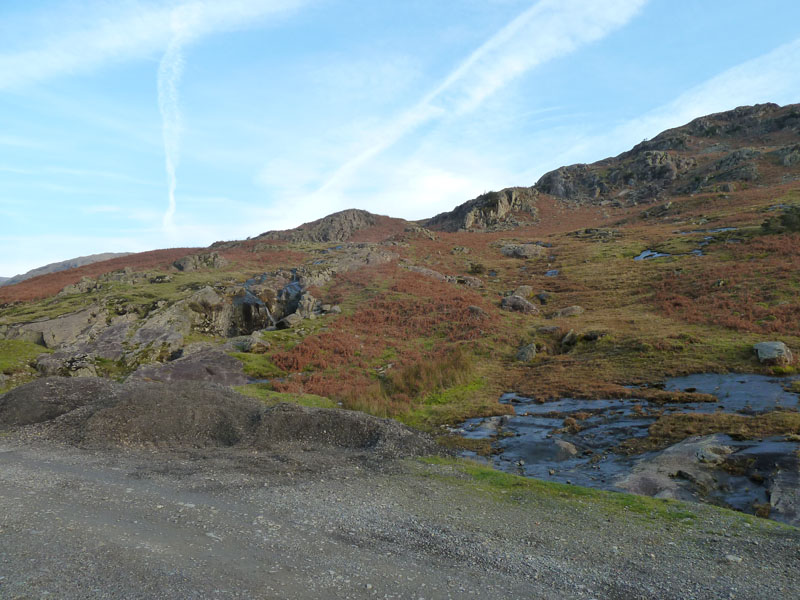
Spoil: The View
I wonder what it looked like before any mining took place?
 |
 |
| Area of Quarrying Activity |
Brim Fell |
 |
 |
The Route up Wetherlam |
Lad Stones Bield |
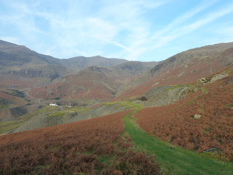
Walk Views
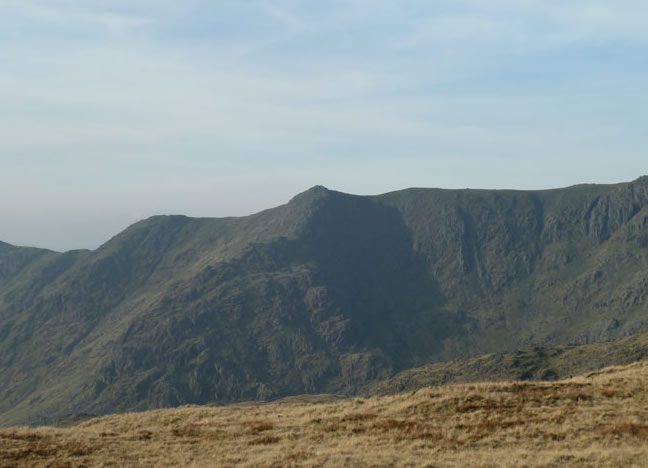
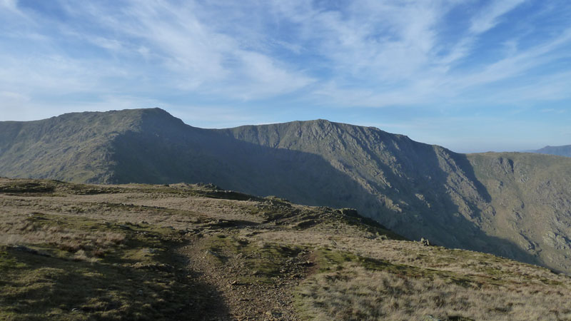
Black Sails Ridge and Great How Crags
The ridge in the middle ground takes walkers to Black Sails, a subsiduary of Wetherlam. Beyond that, the north-east ridge of Great How Crags casts a dark shadow.
Great How Crags
Further up Wetherlam now and I've started to study Great How Crags. Is there a safe way up the north-eastern edge?
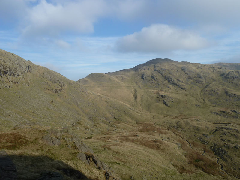
Birk Fell and Beyond
Looking down the gully next to Hen Crag, Birk Fell is the fell in bright sunshine - a little bit of Little Langdale Tarn can be seen.
Wetherlam Summit
The Eastern Fells have their tops capped with cloud. This is the fifth consecutive year that I've managed a Wetherlam ascent and I have never been disappointed with a climb up this moutain, it's a good 'un!
Swirl How and Great Carrs
I've resolved not to climb Prison Band again today, so Swirl How and Great Carrs are not on the agenda. The weather is very similar to yesterday and I am expecting the cloud to roll in from the east at some point.
Split Boulder
Found under Prison Band in Levers Water Bottom, this is a noteworthy boulder. Geologists would position a measuring pole next to their target, I cannot even offer a sheep. It's about eight feet high, do you think ice or impact will have split the boulder?
Great How Crags
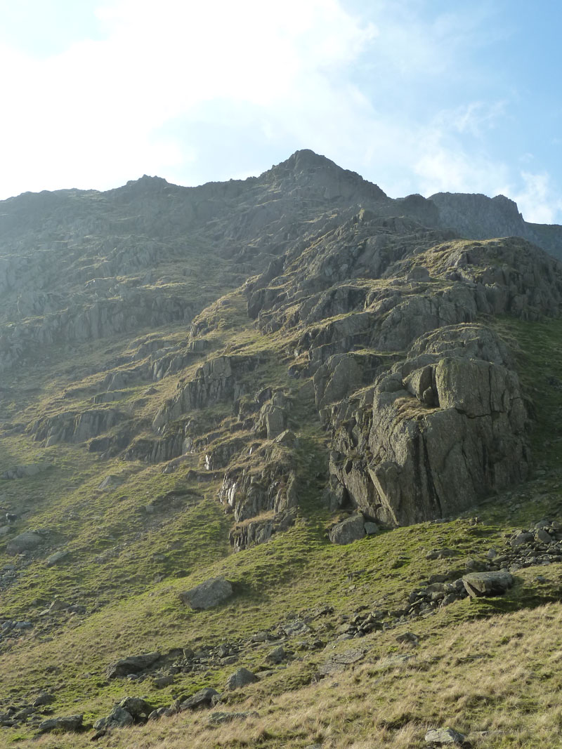
I aimed for the grassy rake that starts in the centre of this photo and tilts left. It's a very steep ascent, but safe and good fun. No footpath and my rule on unchartered territory is not to climb up over any obstacle that I wouldn't be equally happy to descend. That's in case I have to turn back. Not suitable for pushchairs.
 |
 |
Black Sails and Levers Water Bottom |
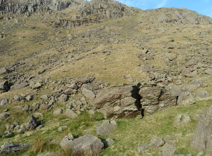
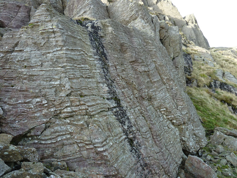
Volcanic Rock |
On Great How Crags
Many of the big rocks and slabs on the way up are fractured and loose and there is even a "cave", a bit like the one on Dovenest Crag, Rosthwaite Fell - but smaller and less accessible. Again, the rock on the right is about eight feet high.
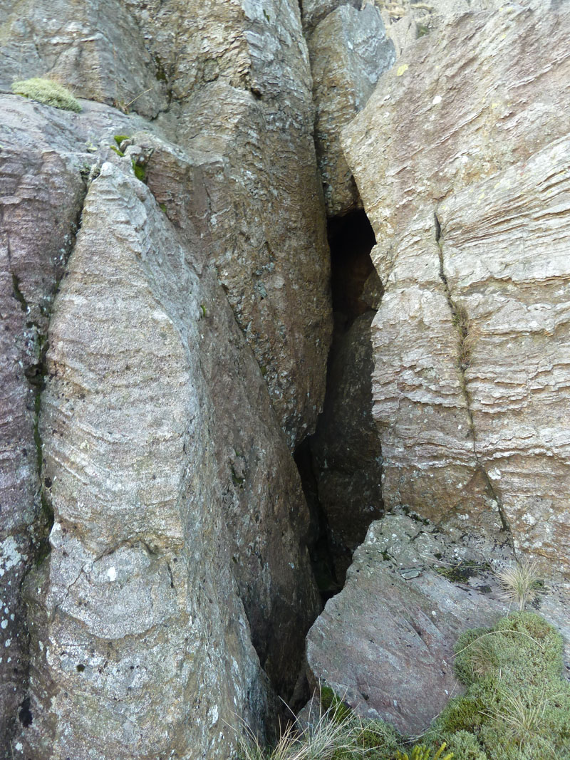
The Cave
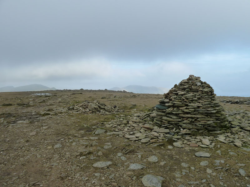
Great How Crags Summit
I was rather hoping that a small group of walkers might be here to commend me on my intrepid climb up the crags. But it wasn't the case.
 |
 |
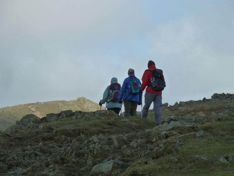
Greetings |
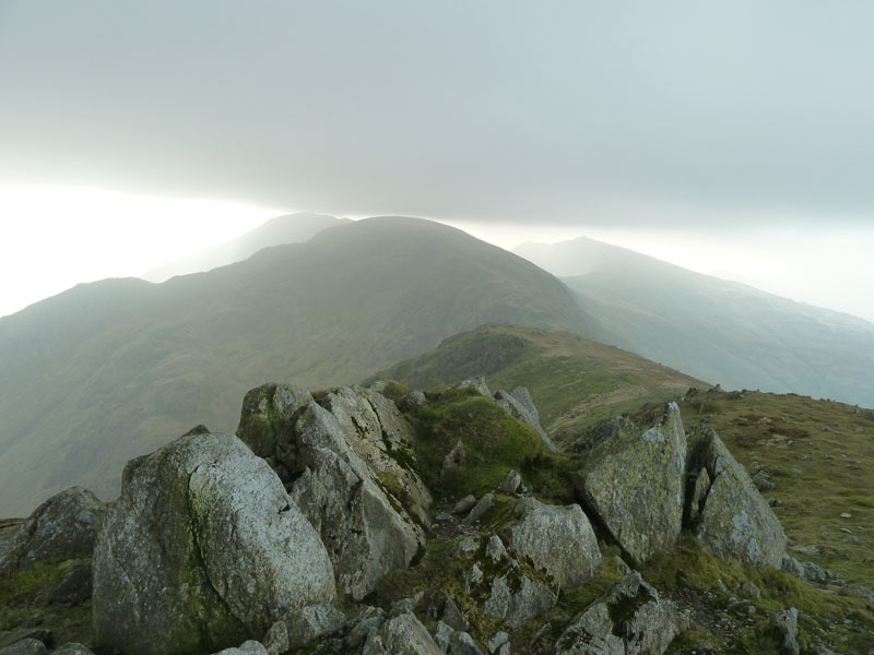
Looking back to Swirl How |
Three and a half hours after setting off from Coniston I had the chance to say "Hello". I wonder what they thought of me in shorts and no coat? The path on the photo on the right is the one beneath the Brim Fell ridge and was completely out of the wind, whereas there was quite a gale on the ridge itself. Soon enough I took a beeline to the summit of Brim Fell and saw the summit cairn for the third time in two days.
Brim Fell Summit
The cloud is a couple of hundred feet higher than yesterday and just clear of these summits. I won't be returning here for a while now, I developed "Brim Fell Fatigue" and need to keep away for the time being.
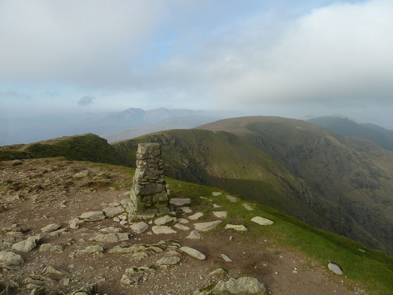
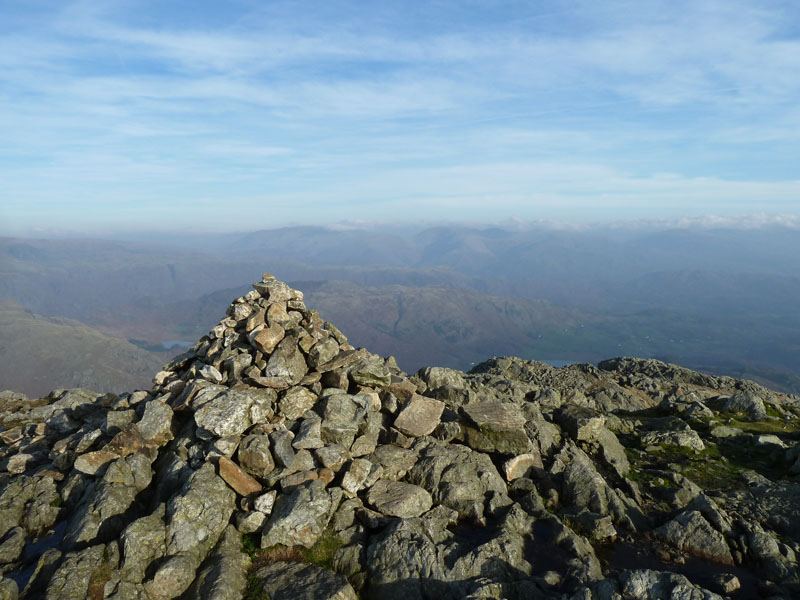
Coniston Old Man Summit
There you go, Bob! It's not always cloudy up here.
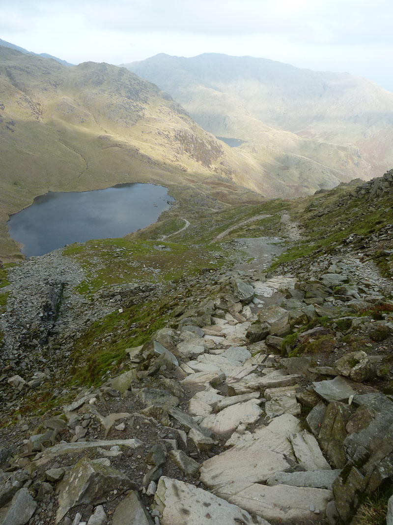
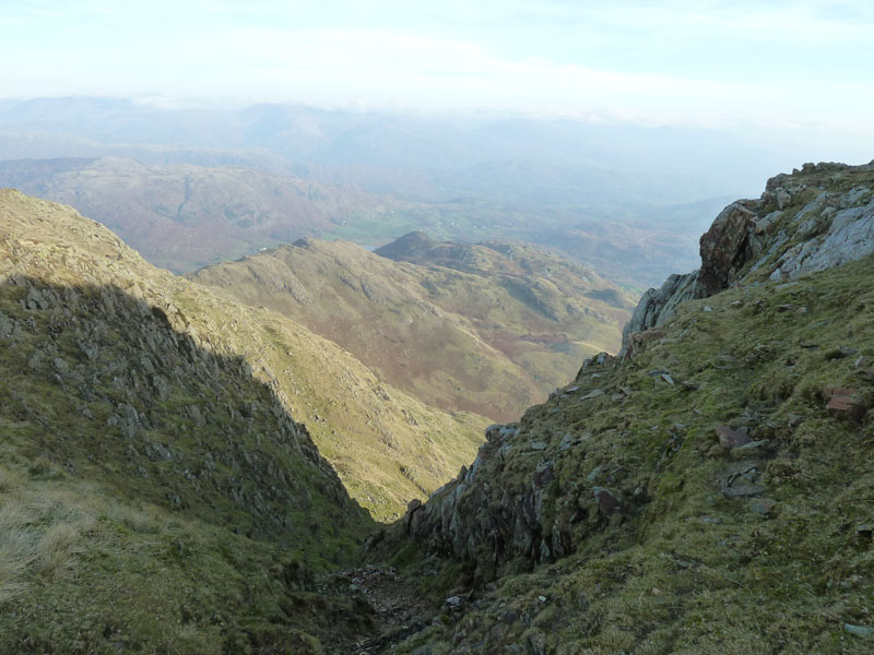
Descent to Low Tarn
The "tourist path" to/from Coniston to the "Old Man".
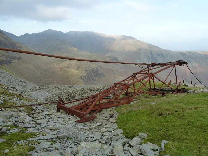
Fallen Gantry
Perhaps a zip-wire planning application is in order? There's no denying that the wire is already in place.
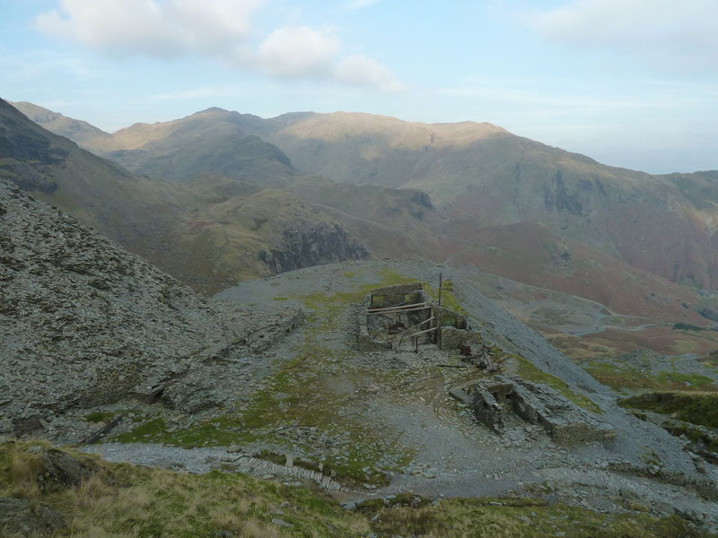
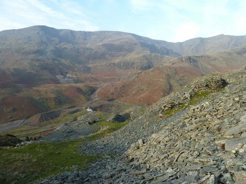
Old Mineworkings
Come quickly! It'll all be on the floor in another ten years or so. This could be a visitor centre with ice creams and stuff.
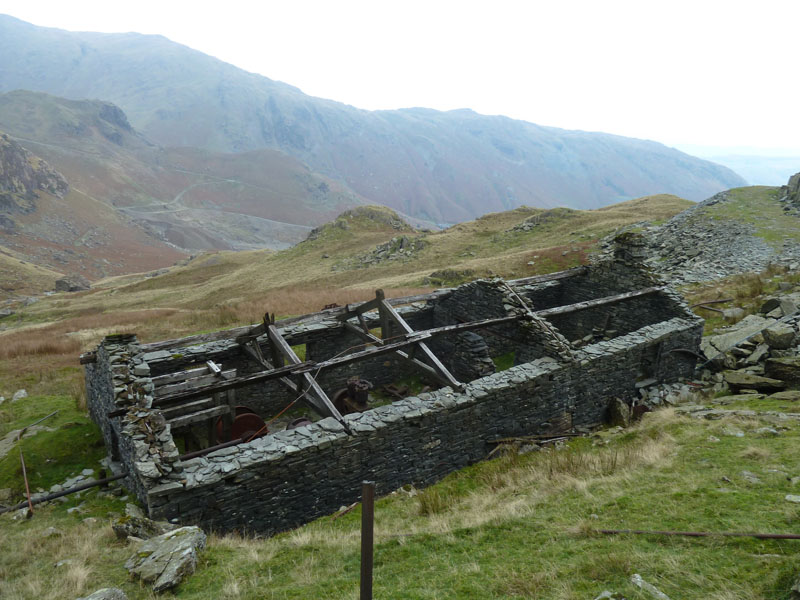
Mine Building
This one is a bit out of the way, above Boulder Valley. I reached it by descending a spoil heap of slate offcuts. Don't do that, readers, it's not that clever.
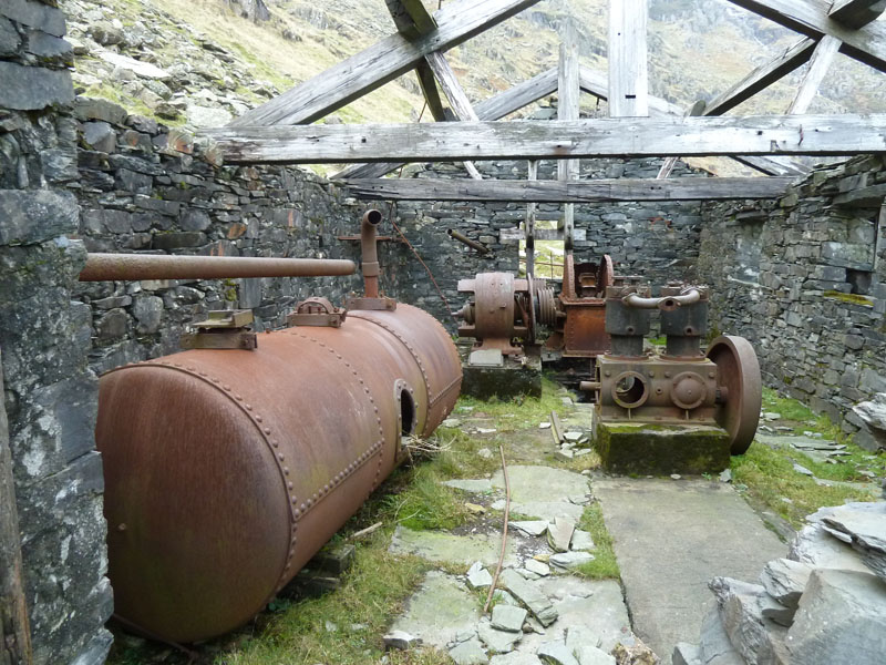
The Pump House
Well, I think that's a pump at the far end of the room. I also think that the tank on the left is an air receiver and therefore I'm assuming that the apparatus right of centre is a compressor. It appears that someone has removed the copper windings from the electric motor.
Miners' Cottages
And so the walk concludes by crossing Miners Bridge and a stroll down the tarmac to the village. I think we all know the route and the scenery down there. Wainwright counted 10 chimneys; there are now only seven, such is life.
Walkers: Just Me.
Time taken: 6 hrs over a distance of about 9 miles.
Route: Coniston, Mouldry Bank, above the quarries to Lad Stones Edge for Wetherlam, Swirl Hause, Levers Water Bottom, Great How Crags, Levers Hause, Brim Fell, Coniston Old Man, Low Water, Mine Workings, down the usual path to Coniston Village.
Weather and conditions: Mainly sunny, low cloud just keeping above the 2500ft mark, cool in the wind, but generally still warm for this time of year.
Greetings Count: Three near Levers Hause and a good handful at the top of The Old Man. Otherwise quiet, as you might expect on a November Monday.
Richard's Refreshment Review: I returned to the B&B for coffee and cake. Lakeland House offers good overnight accommodation and the cafe is open all day. Dogs are allowed in the cafe, if accompanied by their owner.
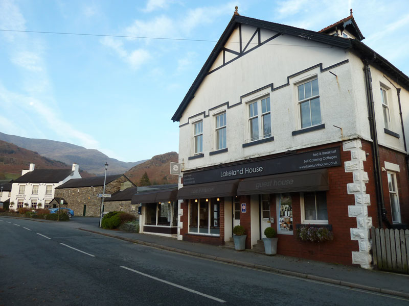
Lakeland House, Coniston
All photos copyright Richard Ratcliffe 2011 ©
Take me back to the start ....